
Classic trail
John Muir Trail: a hiker’s guide
The JMT runs about 211 miles through the High Sierra of California, from Yosemite Valley to the summit of Mount Whitney, the highest point in the lower 48 states.
In short
- About 211 miles, plus about 11 miles down from Mount Whitney to Whitney Portal.
- Most people take 2 to 3 weeks, between July and September.
- You need a wilderness permit from the park or forest where you start.
- Free printable section planner below.
At a glance
- Length: about 211 miles (340 km) to the summit of Mount Whitney, plus about 11 miles to the nearest trailhead at Whitney Portal
- Start and finish: Happy Isles in Yosemite Valley to Mount Whitney (most people hike southbound)
- Passes: Donohue, Silver, Selden, Muir, Mather, Pinchot, Glen and Forester, many over 11,000 feet
- Parks: Yosemite, Sequoia and Kings Canyon National Parks, and the Inyo and Sierra National Forests
- Highest point: Mount Whitney, about 14,505 feet
Resupply points
The JMT has very few road crossings. Hikers usually resupply at some of these (check each one’s current season and rules):
- Tuolumne Meadows, in Yosemite
- Red’s Meadow, near Mammoth Lakes
- Vermilion Valley Resort, by boat or a side trail
- Muir Trail Ranch, where you can mail a resupply bucket
Free printable
Section planner
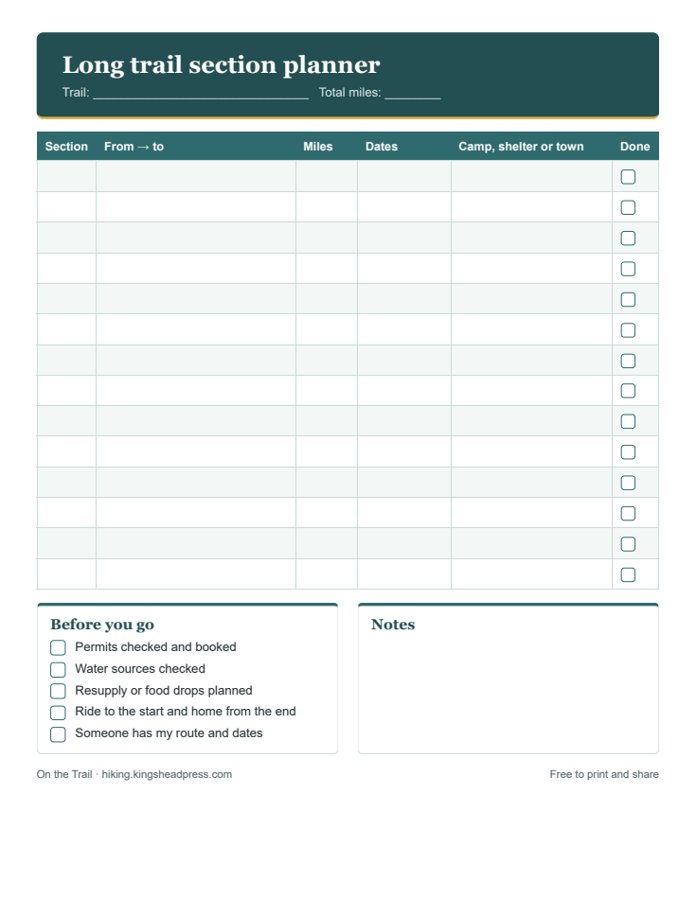
Plan the John Muir Trail in sections on one page: from and to, miles, dates, where you’ll sleep, and a before-you-go list.
Planning tips
- Permits are limited. Yosemite runs a lottery for trailheads such as Happy Isles; apply months ahead and have backup dates and trailheads.
- An approved bear canister is required along the whole trail.
- Most hikers go between mid-July and September, after the snow melts on the high passes.
- Spend a night or two at altitude before you start, and know the signs of altitude sickness.
- Afternoon thunderstorms are common: cross high passes in the morning.
Pack with our free day hike checklist and read the Ten Essentials. Work out each day’s timing with the hiking time calculator.
Books, maps and small things worth taking
Some links on this page go to Amazon. If you buy through them, King’s Head Press may earn a small commission at no extra cost to you. We only suggest things that are worth having.
- John Muir Trail guidebookDaily stages, campsites and resupply details.
- JMT map packWaterproof maps covering the whole trail.
- Bear canisterRequired by law on the JMT.
- Warm sleeping bagNights near the passes can drop below freezing even in August.
Always check the official trail organization’s website for permits, closures, fire and snow conditions before you go. See all 14 US long trails.