
Classic trail
Colorado Trail: a hiker’s guide
The Colorado Trail runs about 486 miles through the Rocky Mountains from Denver to Durango, with an average elevation above 10,000 feet.
In short
- About 486 miles, in 28 segments on the main (Collegiate East) route.
- Most thru-hikers take 4 to 6 weeks, between July and September.
- No permit is needed for most of the trail; wilderness rules apply in places.
- Free printable section planner below.
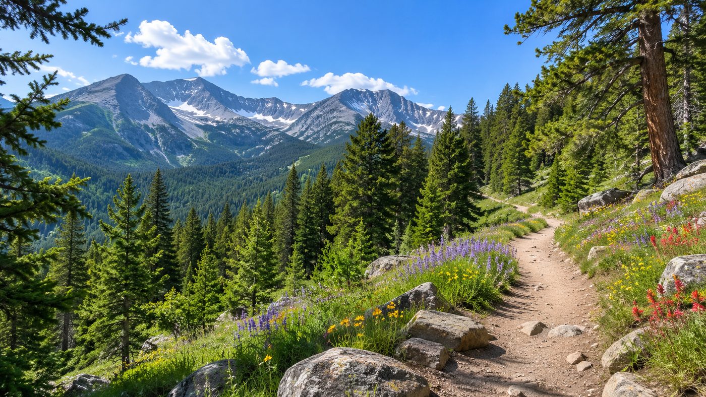
At a glance
- Length: about 486 miles (782 km) on the Collegiate East route; the Collegiate West alternative is higher and longer
- Start and finish: Waterton Canyon, southwest of Denver, to Junction Creek near Durango
- Segments: 28 on the main route, each starting and ending at a road or trailhead
- Highest point: about 13,271 feet near Coney Summit in the San Juan Mountains
- Managed by: the US Forest Service with the Colorado Trail Foundation
Popular sections
- The Collegiate Peaks: big views of Colorado’s 14,000-foot peaks.
- The San Juan Mountains: the high, remote final stretch, mostly above treeline.
- Segments near Denver: lower and easier to reach for a first overnight.
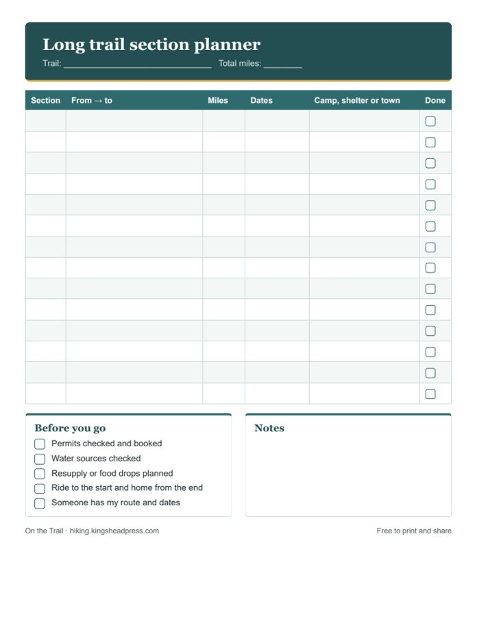
Free printable
Section planner
Plan the Colorado Trail in sections on one page: from and to, miles, dates, where you’ll sleep, and a before-you-go list.
Planning tips
- Lightning is the biggest danger: start early and be off exposed ridges by early afternoon.
- Acclimatize for a few days before you start, especially if you live near sea level.
- Mountain bikes are allowed on much of the trail outside wilderness areas: stay alert and step aside.
- Water is plentiful in most places but treat it all.
- Snow can linger in the San Juans into July.
Pack with our free day hike checklist and read the Ten Essentials. Work out each day’s timing with the hiking time calculator.
Books, maps and small things worth taking
Some links on this page go to Amazon. If you buy through them, King’s Head Press may earn a small commission at no extra cost to you. We only suggest things that are worth having.
- Colorado Trail guidebookSegment-by-segment descriptions and maps.
- Colorado Trail map bookA light, waterproof map book for the whole trail.
- Warm puffy jacketEvenings at 11,000 feet are cold.
- Rain jacket and pantsFor daily afternoon storms.
Keeping track over several trips? In our hiking planner, pick the Colorado Trail on the Hike Log and give each stretch a section number. Each section counts once however often you hike it, so you can see how far along you really are.
Always check the official trail organization’s website for permits, closures, fire and snow conditions before you go. See all 14 US long trails.