
National Scenic Trail
Appalachian Trail: a hiker’s guide
The AT runs about 2,190 miles along the Appalachian Mountains through 14 states, from Springer Mountain in Georgia to Mount Katahdin in Maine.
In short
- About 2,190 miles through 14 states, marked with white blazes.
- A thru-hike takes most people 5 to 7 months; most hike sections.
- Three-sided shelters about every 8 to 10 miles, and towns for resupply.
- Free printable section planner below.

At a glance
- Length: about 2,190 miles (3,524 km); it changes slightly most years as the trail is rerouted
- Start and finish: Springer Mountain, Georgia to Katahdin, Maine
- States: Georgia, North Carolina, Tennessee, Virginia, West Virginia, Maryland, Pennsylvania, New Jersey, New York, Connecticut, Massachusetts, Vermont, New Hampshire and Maine
- Waymarks: white paint blazes; blue blazes mark side trails to shelters, water and views
- Managed by: the National Park Service, the US Forest Service and the Appalachian Trail Conservancy with local trail clubs
- Highest point: Clingmans Dome in the Great Smoky Mountains, about 6,643 feet
Popular sections
- Shenandoah National Park, Virginia: about 100 miles of gentle grades close to Skyline Drive, with waysides for food. Dogs are allowed on a leash.
- Great Smoky Mountains: about 70 miles of high ridges. Overnight hikers need a backcountry permit and use the shelters.
- Grayson Highlands, Virginia: open balds with wild ponies.
- The Whites, New Hampshire: the toughest and most rewarding stretch, above treeline on the Presidential Range. Weather can be severe even in summer.
- The 100-Mile Wilderness, Maine: the remote run-in to Katahdin. Carry food for the whole section.
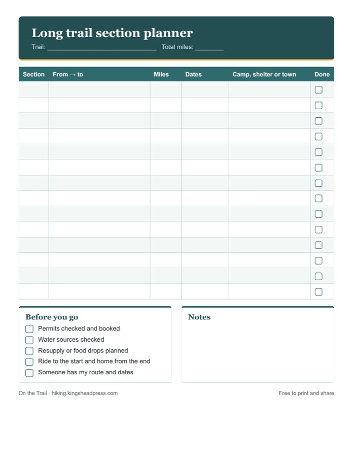
Free printable
Section planner
Plan the Appalachian Trail in sections on one page: from and to, miles, dates, where you’ll sleep, and a before-you-go list.
Planning tips
- Most thru-hikers start northbound from Georgia between late February and April. Consider a quieter start date or a southbound or flip-flop hike.
- Register your thru-hike start date with the Appalachian Trail Conservancy (it’s voluntary) to help spread hikers out.
- Baxter State Park, home of Katahdin, has its own rules and asks long-distance hikers to get a permit card. Check before you go.
- Shelters fill up; carry a tent or hammock too.
- Use a bear canister or hang your food where required, and follow local rules on food storage.
- Lyme disease is common along much of the trail: check for ticks every day.
Pack with our free day hike checklist and read the Ten Essentials. Work out each day’s timing with the hiking time calculator.
Books, maps and small things worth taking
Some links on this page go to Amazon. If you buy through them, King’s Head Press may earn a small commission at no extra cost to you. We only suggest things that are worth having.
- Appalachian Trail guidebookMile-by-mile shelters, water and towns. Many hikers carry the latest edition.
- AT mapsPaper maps for the section you’re hiking.
- Lightweight tentFor when the shelters are full.
- Bear canister or food bagRequired in some areas; check before you go.
Always check the official trail organization’s website for permits, closures, fire and snow conditions before you go. See all 14 US long trails.